“History and geography are the basis of all the humanities.“
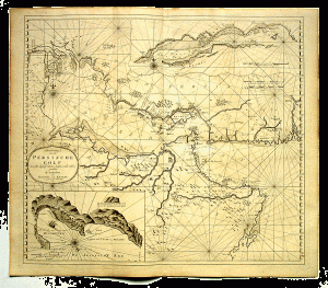
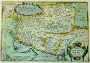
After falling in love with a map of Persia in Harrods, Dr Ala’i spent years researching the cartography of Iran and Persia before publishing two large volumes by Brill, on different maps of Persia from the 1400s to 1925.
Dr Ala’i was invited by Iran Heritage to give a talk in January 2011 on his extensively researched specialty, and Six Pillars interviewed him to find out more about this passion of his.
This is the whole interview, the first part of which was broadcast in January 2011 on Six Pillars to Persia, from the Resonance104.4Fm studios, London.

